Surveying and Mapping Costs Overview
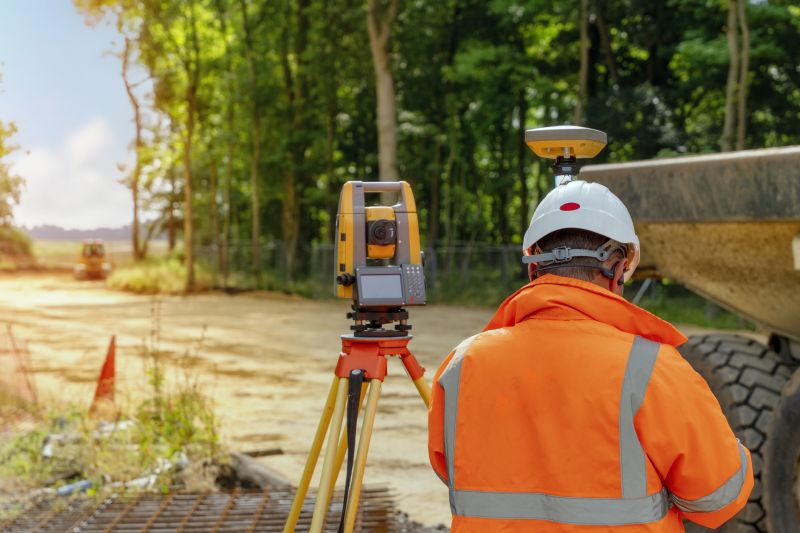
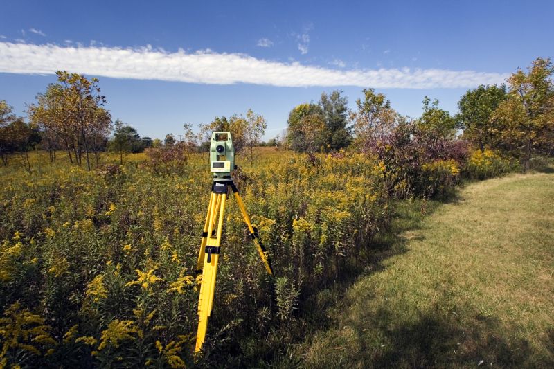
Difficult terrains like dense forests or rocky landscapes increase survey time and equipment needs, raising costs.
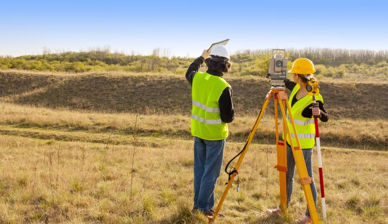
Larger areas require more resources and labor, which can elevate overall expenses.
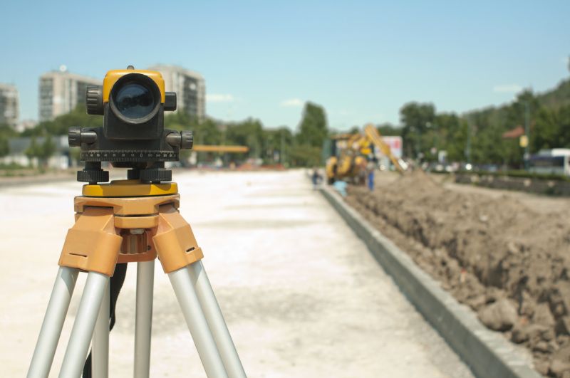
Advanced surveying tools such as drone or laser scanning technology can influence pricing based on their sophistication.
| Factor | Impact on Cost |
|---|---|
| Terrain Type | More complex terrains increase costs due to additional equipment and time. |
| Project Scope | Larger or more detailed projects tend to be more expensive. |
| Accessibility | Hard-to-reach locations require specialized equipment and extend project duration. |
| Technology Level | Use of advanced tools like drones or 3D laser scanners can add to expenses. |
| Survey Density | Higher detail levels demand more time and resources, raising costs. |
| Environmental Conditions | Adverse weather can delay work and increase costs. |
| Data Processing | Complex data analysis requires specialized software and expertise. |
| Permits and Regulations | Obtaining necessary permissions may add to project costs. |
Investing in high-quality surveying methods ensures precise data collection, which is vital for project success. While advanced equipment and extensive site work can elevate costs, they also provide more reliable results, reducing the risk of costly errors later. Understanding these cost drivers helps in making informed decisions aligned with project requirements and budget constraints.
Utilizes unmanned aerial vehicles for rapid data collection, often at a higher initial cost but with efficiency benefits.
Provides high-precision 3D models, with costs depending on project size and detail level.
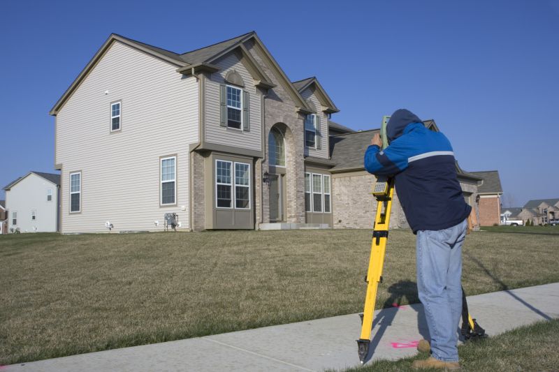
Involves manual measurements with costs influenced by terrain and area size.
| Service | Average Price Range |
|---|---|
| Topographic Survey | $1,000 - $5,000 |
| Boundary Survey | $1,500 - $4,000 |
| Construction Staking | $2,000 - $6,000 |
| Boundary Resolution | $2,000 - $7,000 |
| ALTA/NSPS Land Title Survey | $3,000 - $10,000 |
| 3D Laser Scanning | $5,000 - $20,000 |
| Drone Mapping | $1,500 - $7,000 |
| Environmental Survey | $4,000 - $15,000 |
| Volume Calculations | $1,000 - $4,000 |
| As-Built Survey | $2,000 - $8,000 |